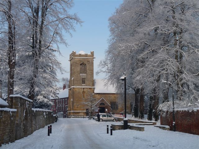
If youre fed up with the Perishingly cold conditions which seems to have last for an eternity, there is a glimmer of hope as some what "less" cold conditions will move in over the next couple of days ,but it has to be said most place will still see slightly below average temperatures, but at least temperatures will be a little above freezing in the daytime, something we have hardly seen of late!
Tonight will see the normal conditions of frost and fog but less fog than recently, but still cold ,with temperatures dowm to minus 6c/23f say for instance in Chipping Campden in the Cotswolds.
Thursday will start off very cold, with that frost but through the day temperatures will lift just above freezing with a breeze coming from the NorthWest, but still feeling very chilly. A dry day but generally becoming cloudy later with perhaps some light drizzly conditions affecting the Brecon Beacons, The Black Mountains, and the Cambrian Mountains and that takes us into a somewhat milder night Thursday into
Friday hopefully all of us escaping a Frost but rather cloudy , but mainly dry except perhaps on the High Ground in the West.
5c/41f a maximum so feeling somewhat "friendlier " out in the Great Outdoors! I will be back later on Friday Take care SeeYa Ian.
http://www.netweather.tv/
http://www.bbc.co.uk/news/
http://www.thepcmanwebsite.com/aff_game_list.shtml


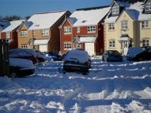

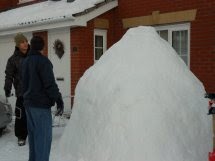


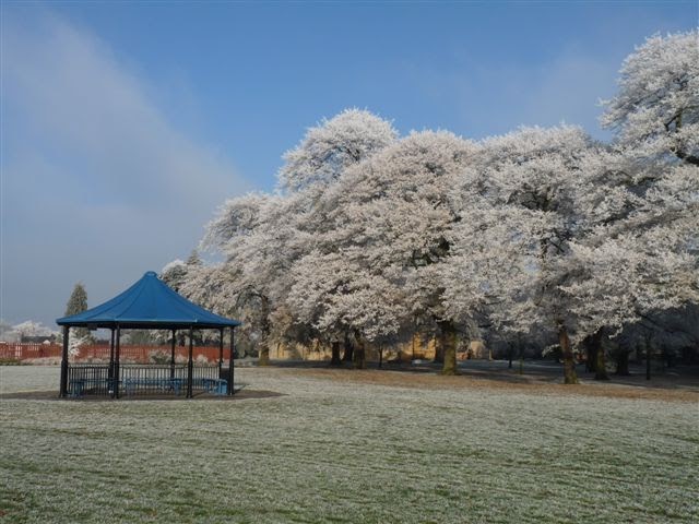
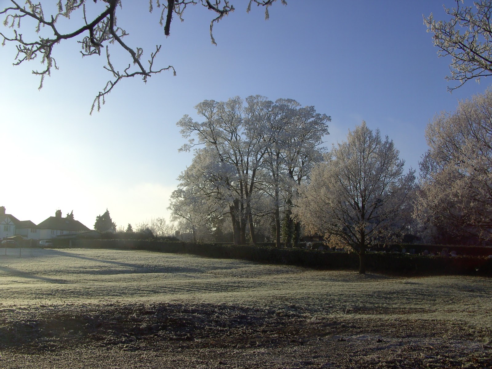
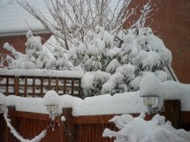 Many Thanks to my Lovely Cousin from Swansea for her splendid photos of the deep snow in Swansea, and who says the Welsh cant build Igloos!! Many Thanks and please keep sending in your pics of anything weather related.