Search This Blog

Sunday, 29 August 2010

Jack Frost, but Fine!!

Well the bank holiday ,has been far from perfect, but at least it has not been a washout! High pressure nudges in from the West in the next couple of days so some fine settled weather to look forward too, but with a rather chilly airmass, as Im sure you have noticed tonight with rather chilly winds, and those winds easing down tonight,so with clear skies and lighter winds some places in our area may see a touch of ground frost, ! so a notable cold night for all for this time of year!Tonight, winds die down,skies clear and temperatures fall very quickly, Birmingham and Oxford down to 7c/45f  by morning, and temperatures likely to get lower than that in rural areas and the Welsh Marches look like seeing the coldest temperatures say Kington, Ludlow and Llangurig seeing temperatures falling down to 3c/37f for a short time so some very early and unwelcome frost!! Monday, starts of cold , but sunny and during the morning, fair weather cloud will build up, but with light winds it will feel very pleasant in the sunshine,highs of 19c/66f. Another cold clear night with the risk of frost in the areas already mentioned and then a repeat performance on Tuesday with some very nice late Summer weather, another cool night although not quite as cold as recent night as on Wednesday,we pick up more cloud and a breeze from the East/SouthEast, but warmer than of recent days with highs of 21c/70f. Dont forget to keep in touch with us and we are asking for your help for some much wanted weather observations from your garden! Take care , See Yaa Ian...........

"TOP OF THE WORLD" The Pakistan Floods......

The devastating floods in Pakistan, have been the top of the news headlines for some weeks now ,has more and more people have been displaced by the ever growing floods, causing ,suffering, misery, and even death to people ,animals and livestock. The "Monsoon" is a natural weather cycle of the Indian sub-continent, in some years this is more pronounced ,while other years have a very weak Monsoon which can equally be as devastating as this leads to drought conditions. The Monsoon occurs because there is an unequal heating of land and sea. During the Summer months the sub-continent heats up very quickly with intense heat from the sun and this is conducive to forming low pressure over the continent which draws up very moist,humid air from the Indian Ocean, which in turn rises into the atmosphere ,cools ,forms clouds and then it rains! This year has been exceptional, but not unheard of historically. One point to consider, is that more and more people are living on our planet and that means more people will be more affected by disasters such as this one. It will without doubt happen again as the population increases in that area, and when the monsoon fails that to will bring misery to the increasing population with drought. Not an easy answer to any of it, just to say that over-population is more the killer than the actual weather! Check out these useful links....
http://www.youtube.com/watch?v=JUMmUNWqM68
http://www.bbc.co.uk/news/world-south-asia-10981230
http://www.bbc.co.uk/news/science-enviroment-10958760

Friday, 27 August 2010

A "Fair" Bank Holiday Weekend!


Its the last British Getaway, dare I say it before Christmas and most folks just want to enjoy some late Summer warmth! This bank holiday will in all honesty be not that bad, no heatwave,though as winds will be in the NorthWest bringing along some showers and cloudier spells but the best of the sunshine will be found in the West of our region, so if youre wanting a trip across to the far West of our region check out the stunning Elan Valley and this Hotel is Perfect...http://elanvalleyhotel.co.uk/ Tonight...a few showers around , these clearing out, and clear ,quiet conditions developing with, meadow and River mist and fog as temperatures get quite chilly down to a chilly 6c/48f in some rural areas,Saturday, starts of cool , but sunshine will greet many, and then the cloud builds up to give perhaps the odd heavy shower especially towards Oxfordshire/Worcestershire, some parts staying dry, another cool night, but breezy lows of 8c/46f ,Sunday , more in the way of cloud with perhaps some more organized showers moving down in the afternoon, cool highs of 15c/59f,rather breezy too! I will catch you later on Sunday with youre Bank Holiday forecast, but in the mean time have a lovely weekend, anymore weather info ,please go to http://netweather.tv/   See Yaa  Ian...........!!

Wednesday, 25 August 2010

Swim Suit!!

A cool ,wet outlook for the next couple of days as low pressure dominates the south of the Uk. Plenty of water in the next 24hrs,Tonight heavy rain will continue to fall , allthough at times some dryer interludes and a cool night 10c/50f,Thursday,keep youre curtains shut as there is not to look out for, cloud ,rain and cool, temperatures although in some area you are bound to see something bright in the sky,a cool night again with a gentle breeze from the NorthWest breeze, highs of 16c/61f lows of 9c/48f....Friday, starts off rather cloudy and cool with perhaps some light showers, brightening up with some sunshine......I will give you an update later on Friday, if youre a little worried about rising Rivers and Streams clink onto this link......http://www.enviroment-agency.gov.uk/

Sunday, 22 August 2010

UseFull Rain Anyone!!
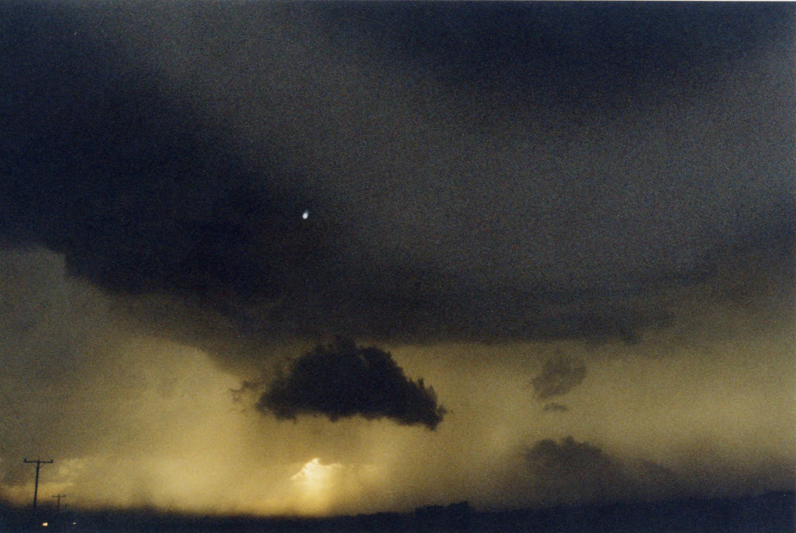

Worcestershireweather.com has issued an alert for tonight, so some potentially severe weather expected in some parts of our region. The week ahead looks to remain very "unsummerlike" with areas of low pressure controlling our weather ,even into the Bank holiday weekend.Tonight, will see some very overnight rain giving at times localized flooding, the southeast of our area looks likely to see the worst of the conditions, but a warm night lows of 14c/57f...Monday, will see that rain clearing and the sun will be out, but expect some heavy and at times blustery showers to develop widely and if you miss any of the showers you will be lucky. Cooler and fresher than recently, highs of 19c/66f and the evening will see those showers dying down and some clear periods with lows of 12c/54f....Tuesday....will see a similar pattern ,feeling rather cool in the breeze , but less showers than Monday and some places will stay dry! A cool night with lows overnight into Wednesday down to 8c/46f and not a bad day acroos our area. with the odd fleeting shower, but more in the way of sunshine and lighter winds, so we may scrape a 21c/70f in  Chetenham. The second half of Wednesday will see a new deep area of low pressure moving into the Uk , more on that later in the day, Take care See Yaa Ian...!

WEATHER ADVISORY. HEAVY RAIN!

A weather advisory, has been issued from  Worcestershire Weather.com for heavy rain, valid from 22/08/10 at 18,00 hrs BST, to the 23/08/10  06,00 hrs BST.
    A small, but potent area of low pressure will develop across the southern half of the Uk over the next 12hrs and the SouthEastern area of our region will see some of the heaviest rain. So the advisory covers Oxfordshire, Gloucestershire, Worcestershire, Warwickshire, where over two inches of rain could well fall leading to some localized flooding. The West of our region ,ie Powys will see some rain too ,but not likely to bring the chance of local flooding. The area of low pressure will quickly move into the Southern North Sea tomorrow morning.

Friday, 20 August 2010

Spot The Difference!!

Warm, moist air has invaded our area all the way from the Canary Islands courtesy of last nights weather front and what we have now is likely to be with us to later on Sunday as the front does move south clearing the Muggy air away and turning things somewhat fresher, but until then more cloud and rain. Tonight ,will see the cloudy, breezy and damp conditions persisting with some heavier rain of the slopes of the Brecons, Black mountains and Cambrian mountains with mountain mist and fog and these conditions at times will effect the Malverns, Shropsire and Cotswold hills at times. A very warm muggy night, probably one ,if not the warmest night of the year with some places not getting any lower than 18c/64f.Saturday will see similar conditions more the rain is likely to become more persistent at time especially towards the West of our region, in any sunny intervals in the East of our patch we could see 25c/77f ,but in the cloud and rain 20c/68f. Little change as we move through Saturday night into Sunday,  with the rain and cloud tending to break up through the day especially in the West of our region but some sharp ,heavy showers could develop for a time Across Oxfordshire and Gloucestershire, but, fresher conditions along with some brighter weather should reach all by the end of Sunday, but more from me later on Sunday ,whatever the weather ,enjoy your weekend and for more info go to http://netweather.tv/   See Ya   Ian.