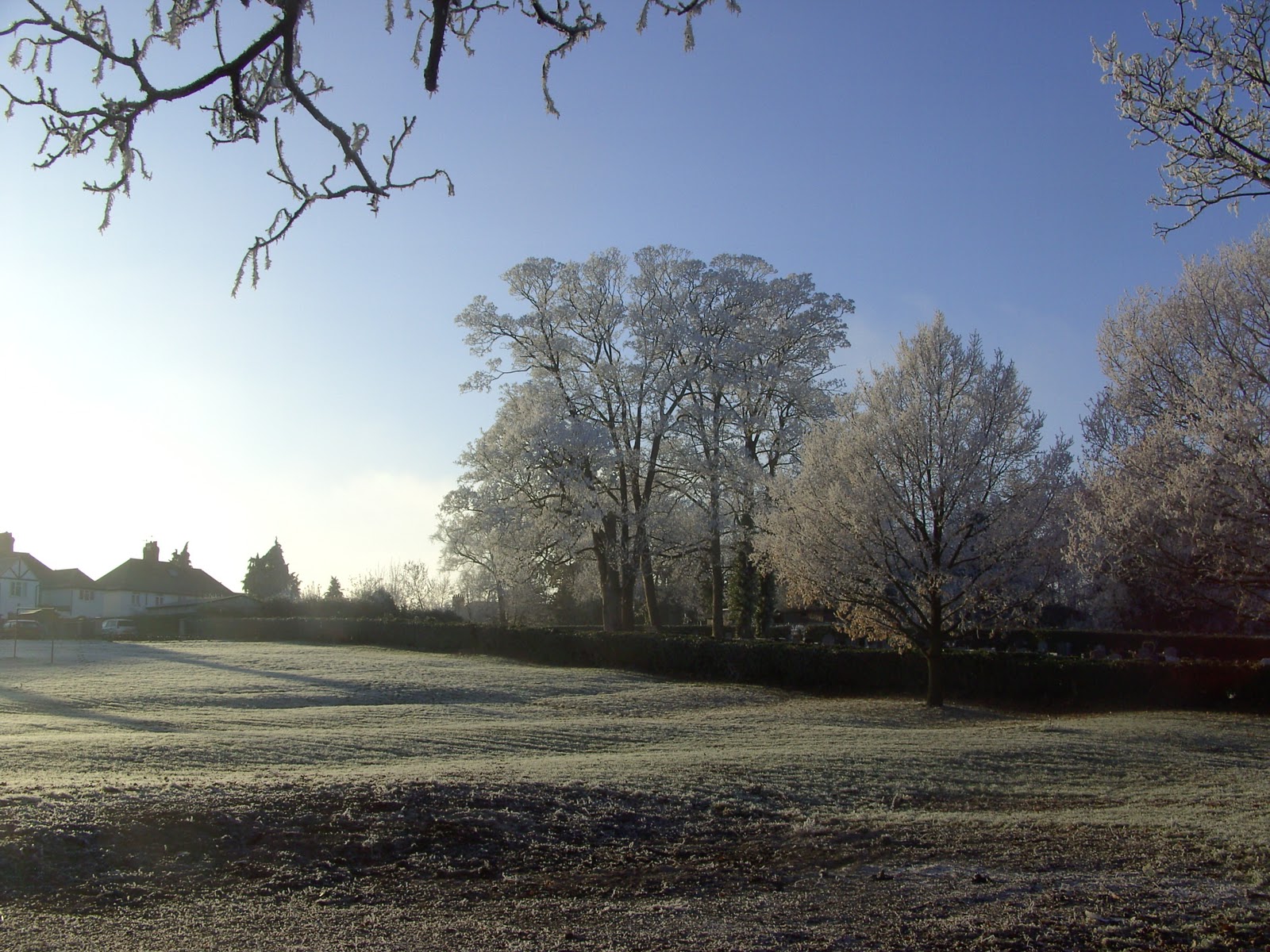
Evening Folks, as you have probably heard ,snow has become a major problem around the Uk, but here at WW.COM HQ , we have no problem with that ! So Far, but across Ceredigion, Powys and Monmouthshire have seen some very disruptive snow. Tonight, will see a snow just about everywhere across the counties of Powys,Ceredigion, Monmouthshire, Herefordshire, Gloucestershire, Oxfordshire, Warwickshire,West Midlands ,Shropshire and of course Worcestershire! This will be mainly in the form of showers, but late in the night more heavy general snow will move across from the West to affect all areas by around 8am. More updates will follow shortly, and this Wintry weather is here to stay up to and over Christmas......!
http://www.netweather.tv/
http://www.bbc.co.uk/news/
http://www.thepcmanwebsite.com/aff_game_list.shtml
Search This Blog
Friday, 17 December 2010
Thursday, 16 December 2010
Weather Watch...
A "Weather Watch" is valid across the counties of Worcester, Gloucester, Hereford, Monmouth, Powys, Shropshire, West Midlands, Warwickshire, and Oxfordshire to 9am on Friday December 17th.
A cold front will move quickly south over all parts this morning and clear southern parts of this region during early afternoon. Initially this will be of rain, but temperatures will fall quickly this morning and the back edge of this front could produce some snow. Ice will then be a problem this afternoon/Evening and some snow showers could well affect the Region later and overnight., please stay tuned for more updates on the very Wintry weather ahead.
Tuesday, 14 December 2010
Your Photos and Videos by Geoff Sanders
A "Big" thankyou to Geoff from Pershore who sent some Beautiful pictures of Pershore [Worcestershire]during the recent cold spell. As always we love your pics, so please keep sending them in....Ian.
http://www.netweather.tv/
http://www.bbc.co.uk/news/
http://www.thepcmanwebsite.com/
Sunday, 12 December 2010
Friday, 10 December 2010
A Pint Of Mild.....!
We reached 7.7c /45f here in Evesham today which is bang on average for the time of year ,but it felt mild as we have not seen that temperature for some time. Enjoy it while it lasts as from Sunday it gets much colder! Tonight will see rather a lot of cloud so a frost is generally unlikely, although there could well be the odd patch of frost just about anywhere and then Saturday very similar to today, rather a lot of cloud,some brightness at times and around 7c/45f. A colder night to come over Saturday night into Sunday morning with a fairly widespread frost with temperatures down to minus 3c ,and then a fair day with patchy cloud, and a maximum temperature of 4c/39f and from there on it becomes very much colder, but more about that on our video forecast on Sunday. Have a good weekend. See Ya Ian.
http://www.netweather.tv/
http://www.bbc.co.uk/news/
http://www.thepcmanwebsite.com/aff_game_list.shtml
http://www.netweather.tv/
http://www.bbc.co.uk/news/
http://www.thepcmanwebsite.com/aff_game_list.shtml
Wednesday, 8 December 2010
A Little Less Cold.....
If youre fed up with the Perishingly cold conditions which seems to have last for an eternity, there is a glimmer of hope as some what "less" cold conditions will move in over the next couple of days ,but it has to be said most place will still see slightly below average temperatures, but at least temperatures will be a little above freezing in the daytime, something we have hardly seen of late!Tonight will see the normal conditions of frost and fog but less fog than recently, but still cold ,with temperatures dowm to minus 6c/23f say for instance in Chipping Campden in the Cotswolds. Thursday will start off very cold, with that frost but through the day temperatures will lift just above freezing with a breeze coming from the NorthWest, but still feeling very chilly. A dry day but generally becoming cloudy later with perhaps some light drizzly conditions affecting the Brecon Beacons, The Black Mountains, and the Cambrian Mountains and that takes us into a somewhat milder night Thursday into Friday hopefully all of us escaping a Frost but rather cloudy , but mainly dry except perhaps on the High Ground in the West. 5c/41f a maximum so feeling somewhat "friendlier " out in the Great Outdoors! I will be back later on Friday Take care SeeYa Ian.
http://www.netweather.tv/
http://www.bbc.co.uk/news/
http://www.thepcmanwebsite.com/aff_game_list.shtml
http://www.netweather.tv/
http://www.bbc.co.uk/news/
http://www.thepcmanwebsite.com/aff_game_list.shtml
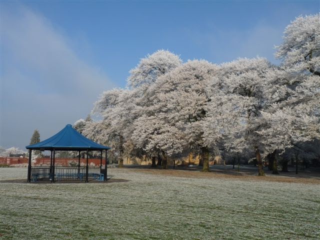
Tuesday, 7 December 2010
My Photo Gallery ....Winter Scenes.
Hi Folks, just been out with the camera today and took some photos when the sun finally came out of the freezing fog effects called "RIME" has left on the surrounding countryside...Hope you like them ,perhaps some more to add in the next couple of days, please send yours into worcestershireweather.... Thanks
Subscribe to:
Posts (Atom)